Four Vermont Covered Bridges to Receive
Grants,
An Update*
July 16, 2003 - The Vermont Department of Transportation proposed projects to the
Federal Highway Administration which totaled $2 million., e-mailed Susan Scribner of the VAOT
Historic Bridge Program.
The requested funds, provided through the National
Covered Bridge Preservation Program authored by Sen. James Jeffords in 1998, will be shared by
four of Vermont's covered bridges.
"Apparently," said Scribner,."the $2 million figure
requested for federal funds was reduced to $1,987,000 so we will need to make an adjustment of
$13,000 to one or more of the covered bridge projects. The project costs that were estimated
included all associated costs including engineering, right-of-way acquisition if needed and
construction oversight."
The fund allocations are as follows:
|
Covered Bridge | Total Estimated Project Cost | Federal Funds Requested
| State/Local Funds |
Salisbury-Cornwall Cedar Swamp
Tunbridge Cilley
Thetford Sayre
Weathersfield Upper Falls |
$850,000
$400,000
$500,000
$750,000 |
$680,000
$320,000
$400,000
$600,000 |
$170,000
$80,000
$100,000
$150,000
|
*The amounts published July 8 by the U.S.
Department of Transportation were in error.
 |
The truss used in the span is a unique adaptation of Herman
Haupt's 1839 patent. The midstream pier was added in 1963.
Photo by Joe Nelson, 1997. |
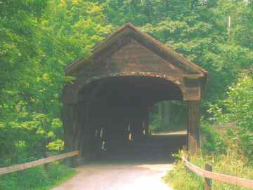
The Sayers Bridge[45-09-06] is known for
its "Haupt" truss, the only truss of its kind in New England, and one of just three in the United
States. The truss used in the span is a unique adaptation of Herman Haupt's 1839 patent. The
design, as used here, resembles a multiple kingpost truss. It differs in that it is assembled from
planks instead of square timbers and is joined with treenails rather than with mortise and tenon.
The builder integrated the whole with a segmented plank arch.
The bridge was restored in 1963 with a mid-span
concrete pier and four steel I-beams supporting a new laminated deck. The work was estimated
by the VAOT to cost about $30,000 with $6,000 the Town's share. The Town replaced the siding
and roof as part of a community project.
Thetford Center's bridge underwent repairs again in
1997 after a dump truck driven by a local resident tried to drive through with its bed raised. He
took off two-thirds of the roof.
In November of 2002, a car went through the side of
the bridge when the driver lost control inside. The vehicle landed in the Oompompanusuc River
upside down. The occupants were rescued by passers-by.
Popularly known as the Tucker Hill Bridge, or as the
Sayres Bridge after the furniture mill owned by the Sayres brothers that once operated here, the
bridge was listed on National Register of Historic Sites on September 17,1974 as the Thetford
Center Covered Bridge
 |
Until the bridge was renovated and a mid-stream pier added in
1969, the Station Bridge was one of the longest single spans in Vermont.
Photo by Joe Nelson, 1997. |
The 154-foot Salisbury Station Bridge
[45-0101] spans Otter Creek on Swamp Road at the edge of the Great Cedar Swamp. It has been
known as the Cedar Swamp Bridge, the Salisbury Station Bridge, or simply as the Station
Bridge.
Raised in 1865 by unknown builders, the truss is
unique in that the web is wider than that of any other plank-lattice truss in Vermont. It measures
four-feet ten-inches on center--the others average about three feet. In 1969 the bridge was
renovated and a mid-stream pier added to support the long span. Until then, the Station Bridge
was one of the longest single spans in the state. Further work was done in the winter of 1992
when Jan Lewandoski made repairs to the truss.
The casual observer today may wonder why the
bridge was built in a remote spot between a large swamp and acres of open fields. In the 1860s,
however, it provided the Town of Cornwall with a vital economic link to the Champlain and
Connecticut Railway depot at Salisbury
The bridge, which is Co-owned and maintained by the
towns of Cornwall and Salisbury, crosses the town line at Otter Creek.
 |
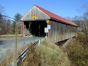
The Upper Falls Covered Bridge, also known as Downers
Bridge, crosses the Black River near the historic site of Downers Inn..
Photo by Joe Nelson, 1995. |
The Upper Falls, or Downers Covered
Bridge [45-14-08] was built c1840, the portals finished in the Greek Revival mode. Partial cornice
returns and enclosed roof-end overhang bracket the splined gable-end boarding. The treatment
simulates the Greek pediments in the Federal architecture popular in the first half of the 1800s.
Downers Bridge is Vermont's last example of splined boarding in a bridge portal.
The 121-foot plank-lattice span crosses high over the
Black River. The tall stone abutments and long curved wingwalls are the most impressive
examples of dry stone masonry in the state. The northern abutment has not been cased in concrete
and remains a tribute to the skill of the masons.
The trusses were originally constructed with sway
braces, or buttresses, but they are no longer in evidence, dispensed with when the restoration was
done by Milton Graton and Sons in 1975.
Neil Daniels, member of the Weathersfield
Transportation Advisory Committee and chairman of the Weathersfield Chapter of the Vermont
Covered Bridge Society said the bridge has rot in the lower chords not removed in the 1975
rebuild. Instead, a fifth lower chord member was added (a town lattice truss normally uses four
chords; upper and lower chords, and upper and lower secondary chords). The south abutment,
where the dry laid stone can still be seen, needs attention. The north abutment concrete facing is
severely eroded. The exterior of the bridge needs attention, including a new roof.
 |
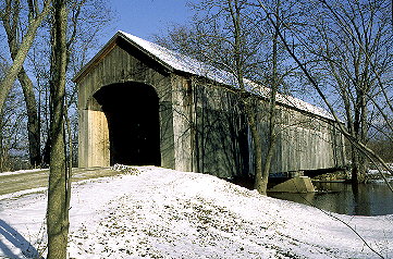
The Cilley Bridge is unique in the construction of the tie-beams
and the doubled knee-braces..
Photo by Joe Nelson, 1993. |
The Cilley Bridge [45-09-08] was built in
1883 using the multiple-kingpost truss. The 60-foot bridge spans the First Branch of the White
River in Tunbridge, serving Howe Lane. It stands among corn fields in view of Route 110 just
south of Tunbridge Village. An old cemetery nearby adds to the ambiance of the site.
The bridge is unique in the construction of the tie-
beams and the doubled knee-braces. A new roof, funded by a Federal program, was installed in
the late fall, 2002.
|
 Joe Nelson, P.O Box 267, Jericho, VT 05465-0267


