hutchins_appe1
Historic Maps and Sensitivity
The 1858 Walling (Figure 2) and 1871 Beers (Figure 3 maps depict the town of Montgomery as it was in the mid-19th century. While this map predates the construction of the Hutchins Covered Bridge, some other type of bridge was in place at this time which linked the east and west sides of the Trout River at this locale. On the west side of the bridge is the Tub Factory. Located on the same road, on the hill overlooking the factory, is the residence of mill owner, Wm. H. Stiles.
The 1871 Beers map shows a number of structures, primarily residences, along with the tub factory in the project area vicinity. On the west side ofthe bridge, several roads/trails are depicted. These roads/trails are denoted with dashed rather than solid lines, suggesting that they were not well maintained and/or were rough trails. Bazoo Road, one of the roads/trails on the west side of the bridge which links the bridge road on the north with the road to the south (Gibou Road), approximately following the same path as the proposed detour road.
Project Area Site Reconnaissance and Recommendations
On March 17, 2006, a HAA, Inc. archeologist conducted a walkover of the project area in order to identify historic features, areas of archeological sensitivity, prior disturbance, excessive wetness, or excessive slope. However, a snowfall which left approximately eight inches of snow had fallen the night before, obscuring the ground surface and possible historic features. Nonetheless, a walkover of the proposed detour road was conducted in order to assess the general topography of the project area. At this time, a stone foundation was identified south of the bridge on the east side of the road. Due to the presence of snow during the initial visit a second site visit was required to be conducted.
 |
 |
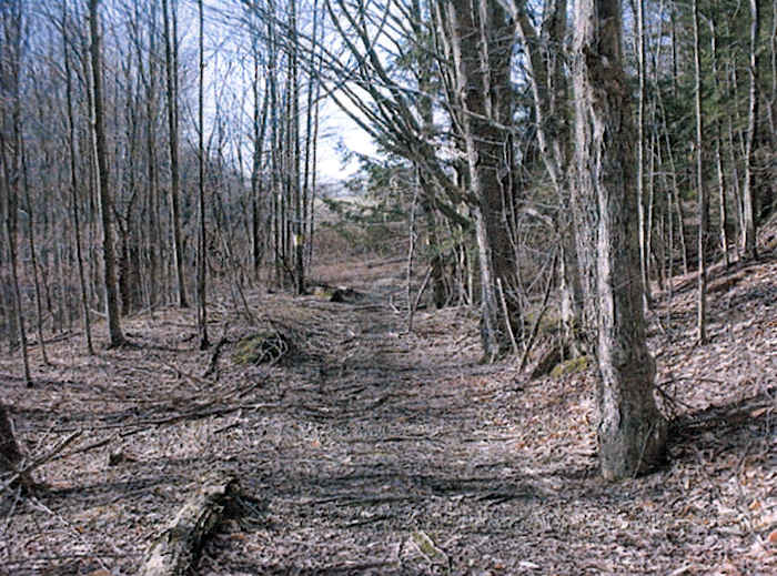
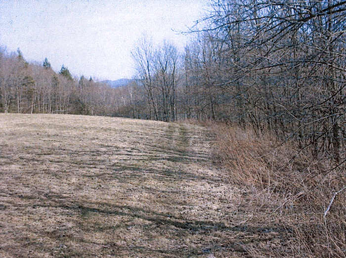
A second site visit was conducted on April 5, 2006. The proposed detour road is situated on the first terrace above the Trout River. At present, the northern end of the proposed detour road is a very rough dirt and grass track which is overgrown with underbrush. This track is evident as an area of level terrain which was cut through the hillslope and extends through the young forest. At the approximate midpoint, the detour road follows a slope upward to an open grass field. The southern end of this grass field is characterized by a rounded hilltop which looks out over the river. To the south of the field, the detour road leads back into a thin young forest situated on gently to moderate slopes which overlook a series of waterfalls on the river. At the southern end, the detour road leads onto Gibou Road directly west of a modem bridge.
The walkover of the proposed detour road resulted in the identification of four areas of archeological sensitivity within the project area, including one area of historic sensitivity and three areas of potential pre contact sensitivity (See Figure 1).
Area 1
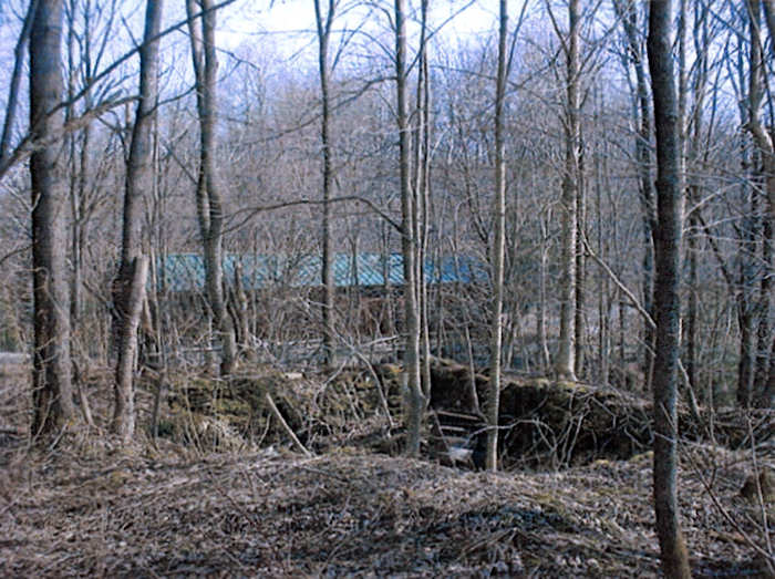
The first area was identified as having potential historic significance relative to the mill enterprises and mill worker housing along the road. A fieldstone foundation noted above was situated approximately 125 feet (38 m) south of the covered bridge directly adjacent to the detour road (Photo 2). The cellar hole foundation measured approximately 20 feet (6 m) east-west by 22 feet (6.7 m) north-south, and was comprised oflarge uncut fieldstones. The foundation stones were overgrown with moss, and appeared to be drylaid construction. However, a few pieces of cement were retrieved from deep within the stonework near the northwest comer of the foundation. For this archeological sensitivity area, it is recommended that the foundation be cordoned off and avoided during the construction and use of the detour road. In addition, because of the proximity of the foundation to the proposed detour road, it is recommended that additional site reconnaissance and archeological shovel testing be conducted to determine whether there are any features or subsurface deposits associated with the historic structure.
Area 2
There is an area of relatively level terrain overlooking the river located in the middle portion of the proposed detour road, at the northern base of the slope leading to the grass field (Photo 3). There is an area measuring approximately 125 feet (38 m) in length along the proposed road bed which is part of a level bench on the first river terrace. Since there is potential for the presence of precontact materials in this area, it is recommended that archeological shovel testing be conducted along this portion of the road alignment.
 |
 |
Area 3
The top of the high rounded knoll located in the grass field has potential for the presence of precontact material (photo 4). The top of the rounded knoll is situated at the edge of a slope which leads down to the river. There is an area measuring approximately 150 feet (46 m) at the top of the knoll along the road alignment which has precontact sensitivity. It is recommended that archeological shovel testing be conducted along this portion of the proposed road.
 |
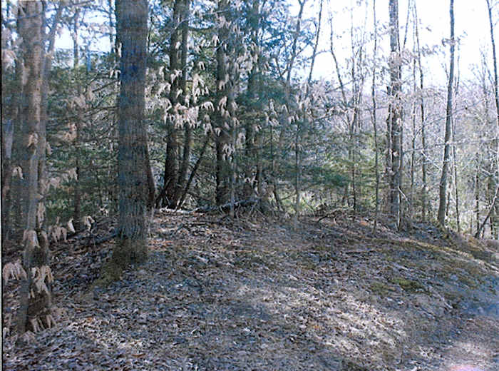
At the southern end of the proposed road alignment, there is a very small slightly rounded terrace adjacent to the road which has precontact sensitivity (photo 5). The terrace is located directly east of the present road/path, and looks out over the northern section of the waterfalls on the Trout River. It is recommended that archeological shovel testing be conducted on this small terrace since it may be impacted during road construction and use.
 |
It is estimated that the excavation of 20 to 25 shovel tests will provide adequate coverage of these four areas. If pre contact cultural material is identified, then additional confirmation tests may be required.
Sincerely, Elise H Manning-Sterling
Bibliography
Beers, F. W.
1871
Atlas of Franklin and Grand Isle Counties, Vermont. F. W. Beers, New York.
McFarland-Johnson, Inc.
1995
Covered Bridge Study at East Fairfield Bridge, Bridge No. 50 Town Highway 49, Town of Fairfield Franklin County. Prepared for the State of Vermont Agency of Transportation. Report on file at the Vermont Division for Historic Preservation, Montpelier, Vermont.
Peebles, Giovanna
1989
Guidelines for Archeological Studies in Vermont Vermont Division for Historic Preservation, Montpelier, Vermont.
United States Geological Survey (USGS)
1986
Hazens Notch, Vermont 7.5' Topographic Quadrangle. United States Geological Survey, Reston, Virginia.
Vermont Agency of Transportation
1986
1998 Letter from Scott Gurley, Historic Preservation Specialist (VTrans) to Emily Wadhams SHPO). Letter on file at the Vermont Division for Historic Preservation, Montpelier, Vermont.
Vermont Agency of Transportation
1999
Memo from Jeannine Russell, Archeologist (Vtrans) to Sue Jamele (VDHP). Memo on file at the Vermont Division for Historic Preservation, Montpelier, Vermont.
Vermont Division for Historic Preservation
2002
The Vermont StateHistoric Preservation Office's Guidelines for Conducting Archeology in Vermont. Vermont Division for Historic Preservation, Montpelier, Vermont.
Walling, H.P.
1857
Map of Franklin and Grand Isle Counties, Vermont Baker & Tilden: New York.
 hutchins Apendix Index
 Joe Nelson, P.O Box 267, Jericho, VT 05465-0267
This file posted 03/12/2009